

In today’s rapidly changing world, environmental monitoring has become more important than ever. From tracking deforestation to monitoring water quality and studying wildlife patterns, accurate data is the foundation of effective conservation. Traditional ground-based methods often fall short because they are time-consuming, limited in scope, and sometimes even dangerous.
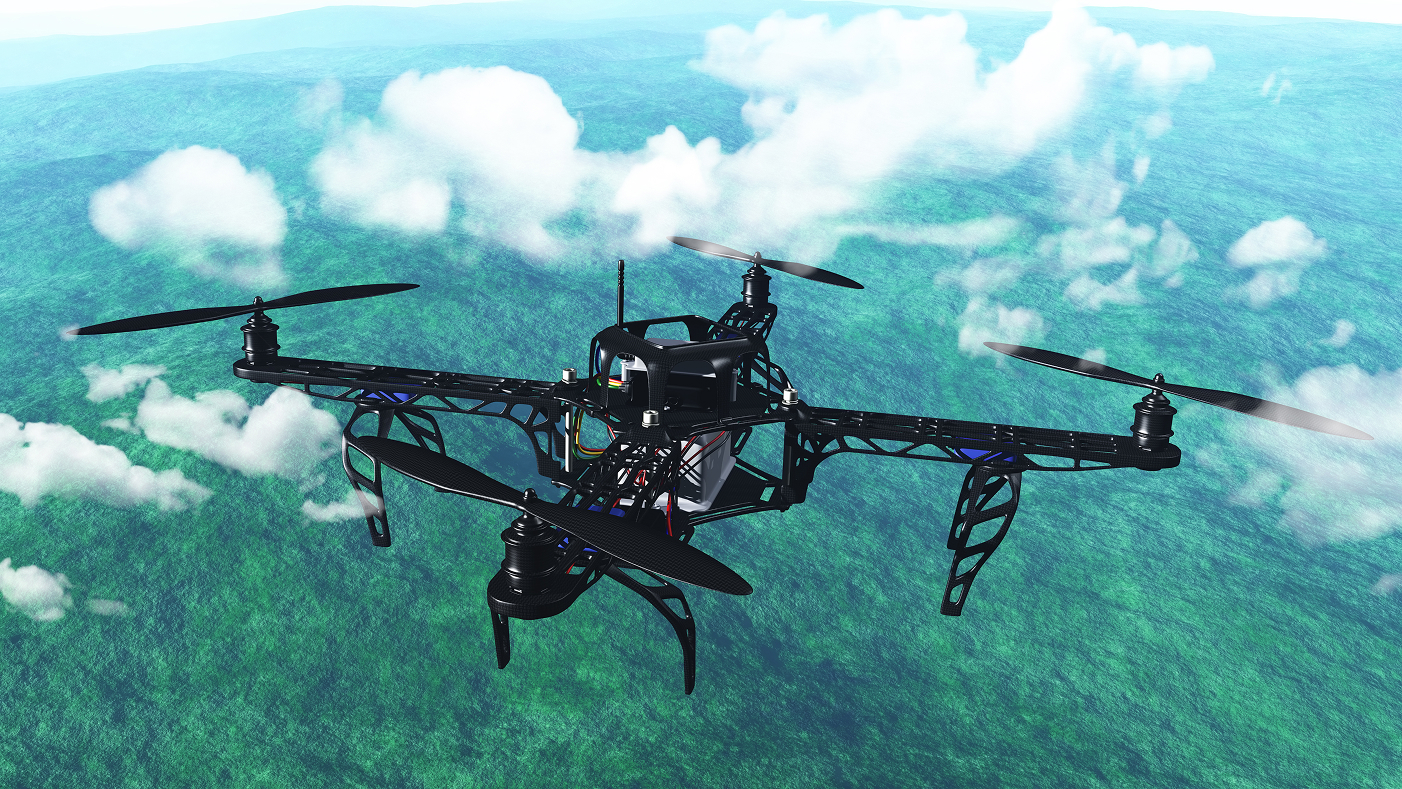
This is where aerial videography using drones (UAVs) is transforming the field. By capturing real-time visuals from above, drones provide researchers, conservationists, and policymakers with unmatched insights into our environment.
1. Wider Coverage in Less Time
Unlike ground surveys, drones can cover vast landscapes in a fraction of the time. Aerial videography enables monitoring of forests, rivers, coastlines, and agricultural lands quickly and efficiently—making large-scale projects more manageable and cost-effective.
2. High-Resolution Data Collection
Modern UAVs are equipped with 4K and thermal cameras, enabling detailed observation of even the smallest changes in ecosystems. From detecting illegal logging to spotting pollution sources, aerial videography provides clear, reliable evidence that supports better decision-making.
3. Real-Time Monitoring & Analysis
Aerial videography offers instant access to environmental data. Live drone feeds help teams respond quickly to emergencies such as oil spills, wildfires, or floods. This real-time capability makes drones an invaluable tool for disaster management and rapid response.
4. Access to Remote & Dangerous Areas
Many ecosystems are located in places that are difficult or dangerous for humans to access—dense forests, wetlands, or steep mountains. UAVs can easily reach these areas, capturing high-quality footage without risking human safety.
5. Tracking Wildlife & Biodiversity
Drones can be used to observe wildlife from a safe distance, minimizing human interference. Aerial videography helps researchers track animal movements, nesting patterns, and population health—essential data for conservation projects.
6. Cost-Effective & Sustainable
Compared to manned aircraft or satellite imaging, drones are far more affordable and eco-friendly. They consume less fuel, require fewer resources, and can be deployed multiple times without excessive cost—making them a sustainable solution for ongoing monitoring projects.
Faqs
1. How are drones better than traditional environmental monitoring methods?
Drones cover larger areas faster, collect high-resolution data, and reach remote or dangerous locations safely—something that traditional ground surveys often cannot achieve.
2. Can drones really help track wildlife without disturbing them?
Yes. UAVs can fly at safe distances using zoom or thermal cameras, allowing researchers to observe animal behavior and habitats with minimal human interference.
3. What kind of cameras are best for environmental monitoring with drones?
4K cameras are ideal for detailed visuals, while thermal cameras help detect heat signatures—useful for spotting animals, identifying forest fires, or tracking water pollution.
4. Are drones a cost-effective option for NGOs and conservation projects?
Absolutely. Compared to helicopters, airplanes, or satellites, drones are much more affordable, reusable, and sustainable—making them accessible even for small organizations.
5. How can real-time aerial videography support disaster management?
Live drone feeds provide instant updates during emergencies like floods, wildfires, or oil spills. This helps authorities respond quickly, allocate resources efficiently, and save lives.
Conclusion
Aerial videography has become a powerful ally in environmental monitoring, offering speed, precision, safety, and cost efficiency. By providing real-time, high-resolution data, drones empower conservationists and organizations to make informed decisions that protect our planet.
At Venus UAV, we are proud to support environmental monitoring projects with cutting-edge drone technology—helping researchers, NGOs, and governments capture the bigger picture from the skies.
